


© 2014 BSA Troop 344, Pemberville, Ohio. All rights reserved. Please send comments or questions to the webmaster.


Highline Trail
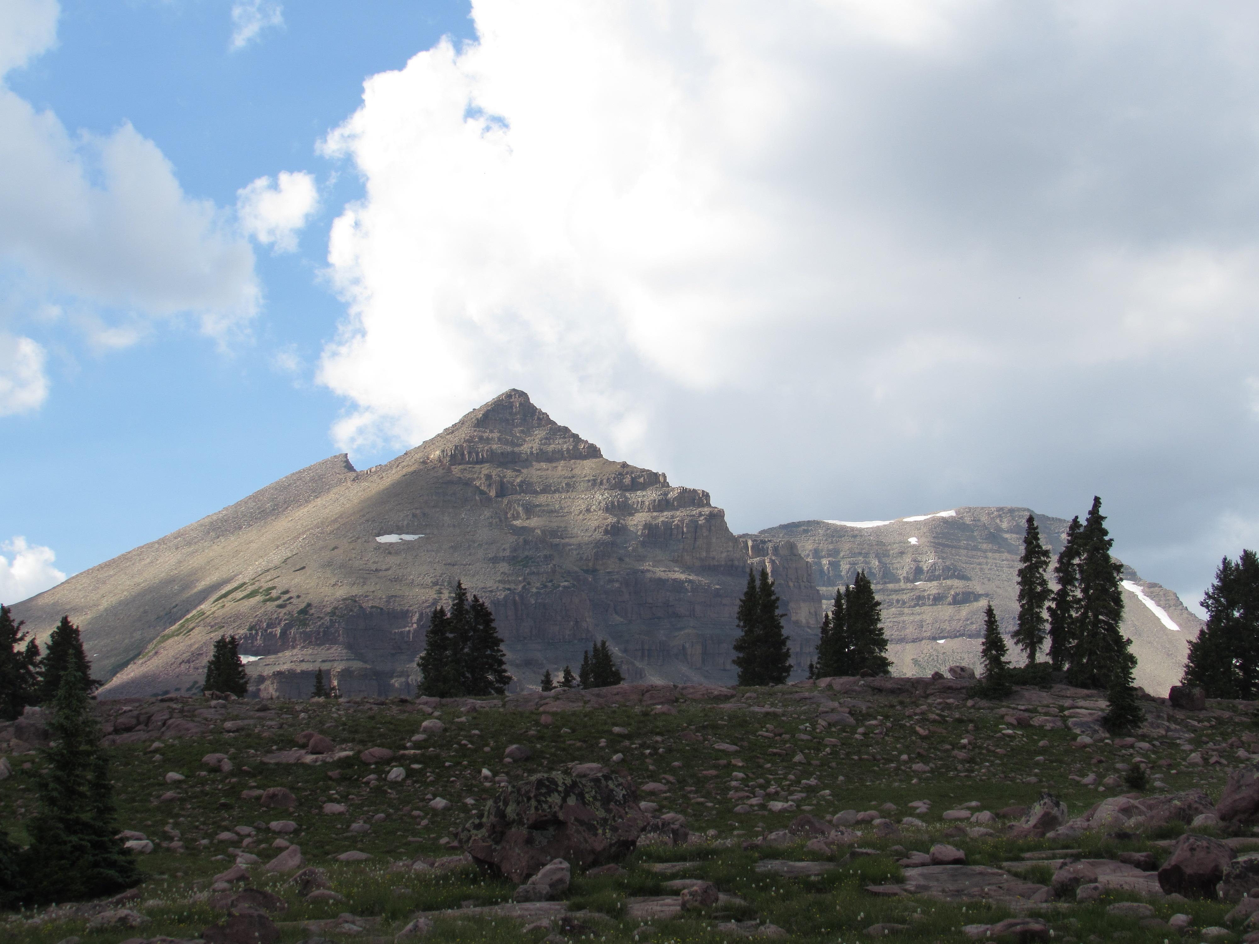
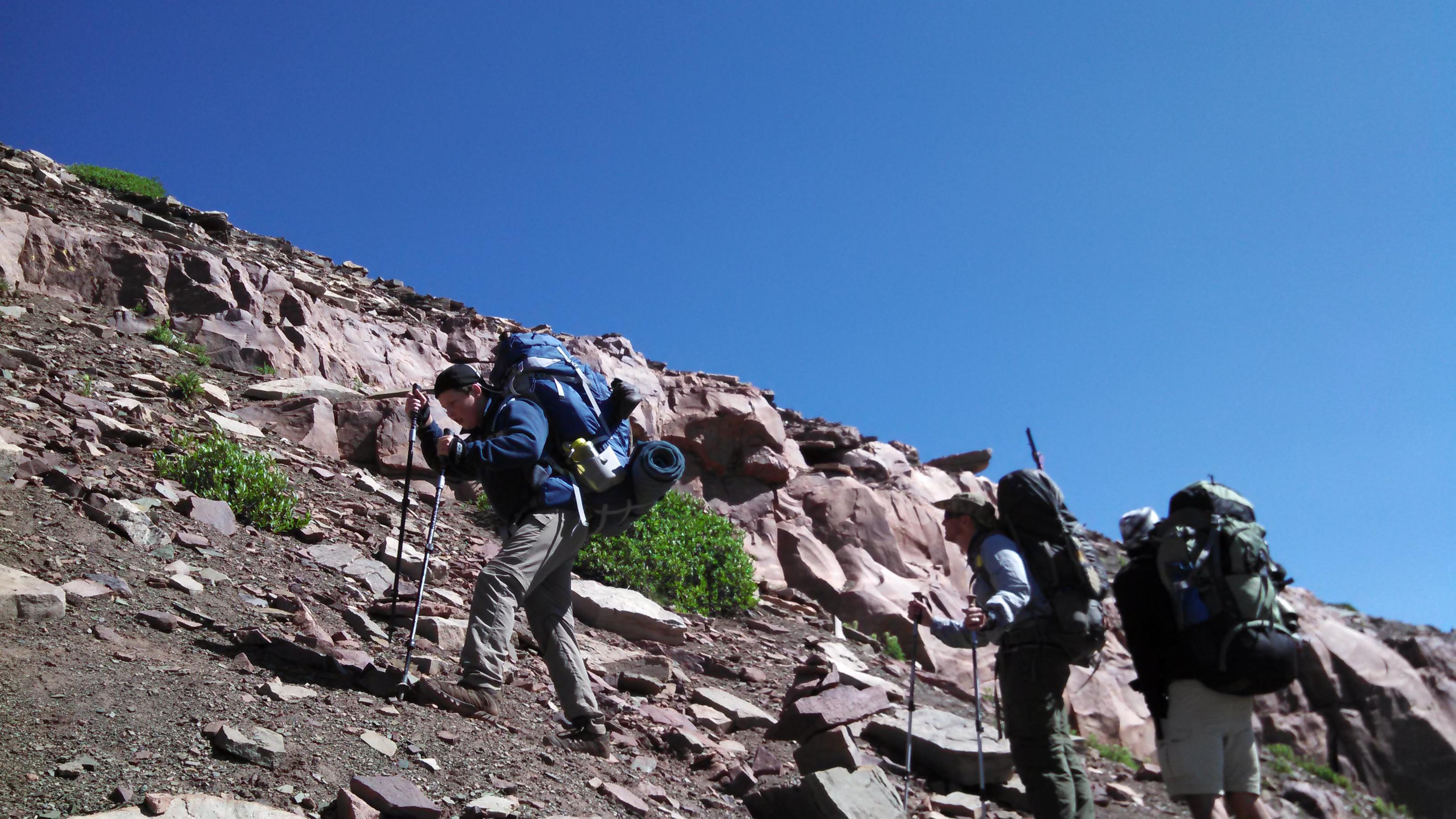
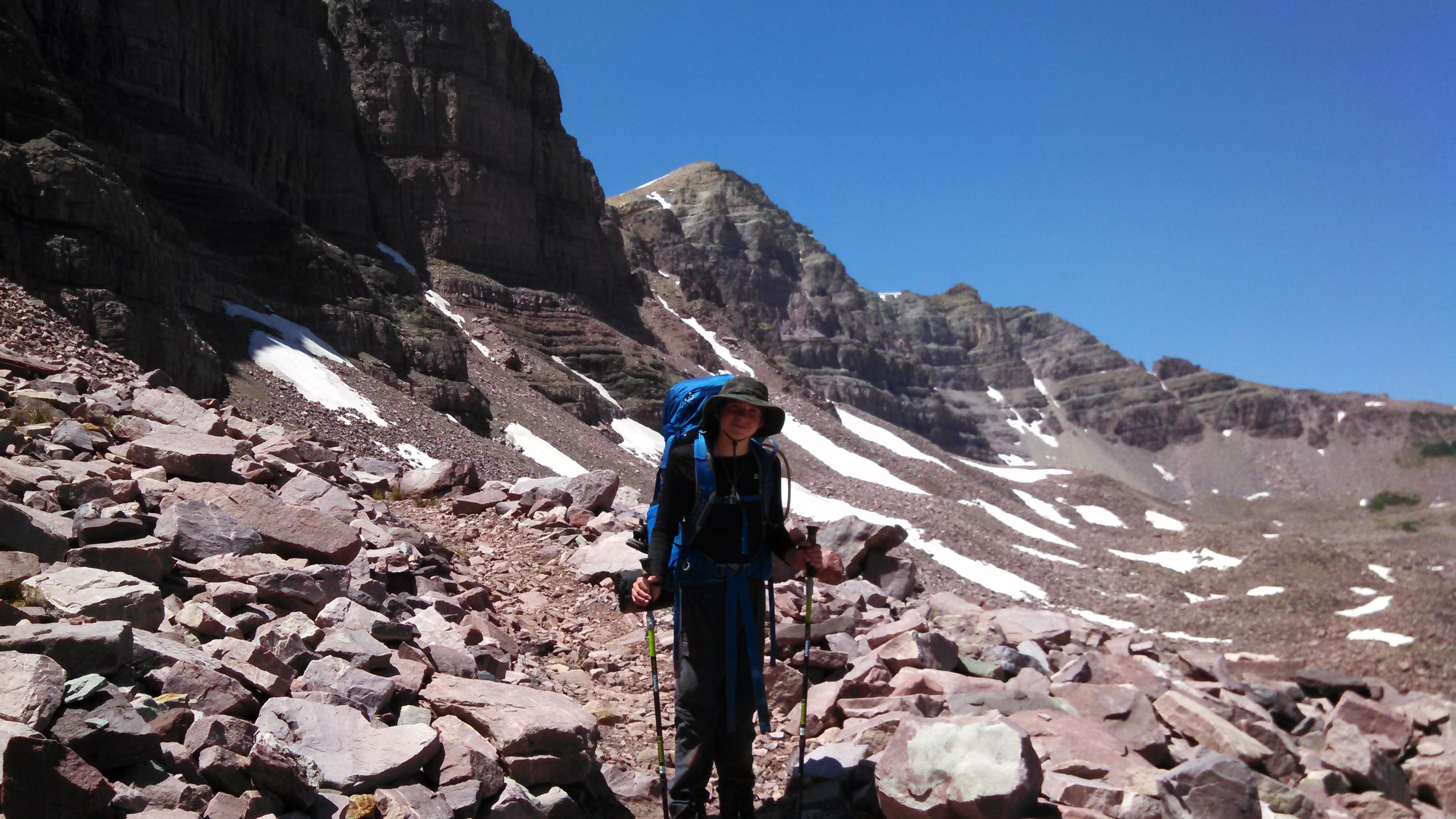
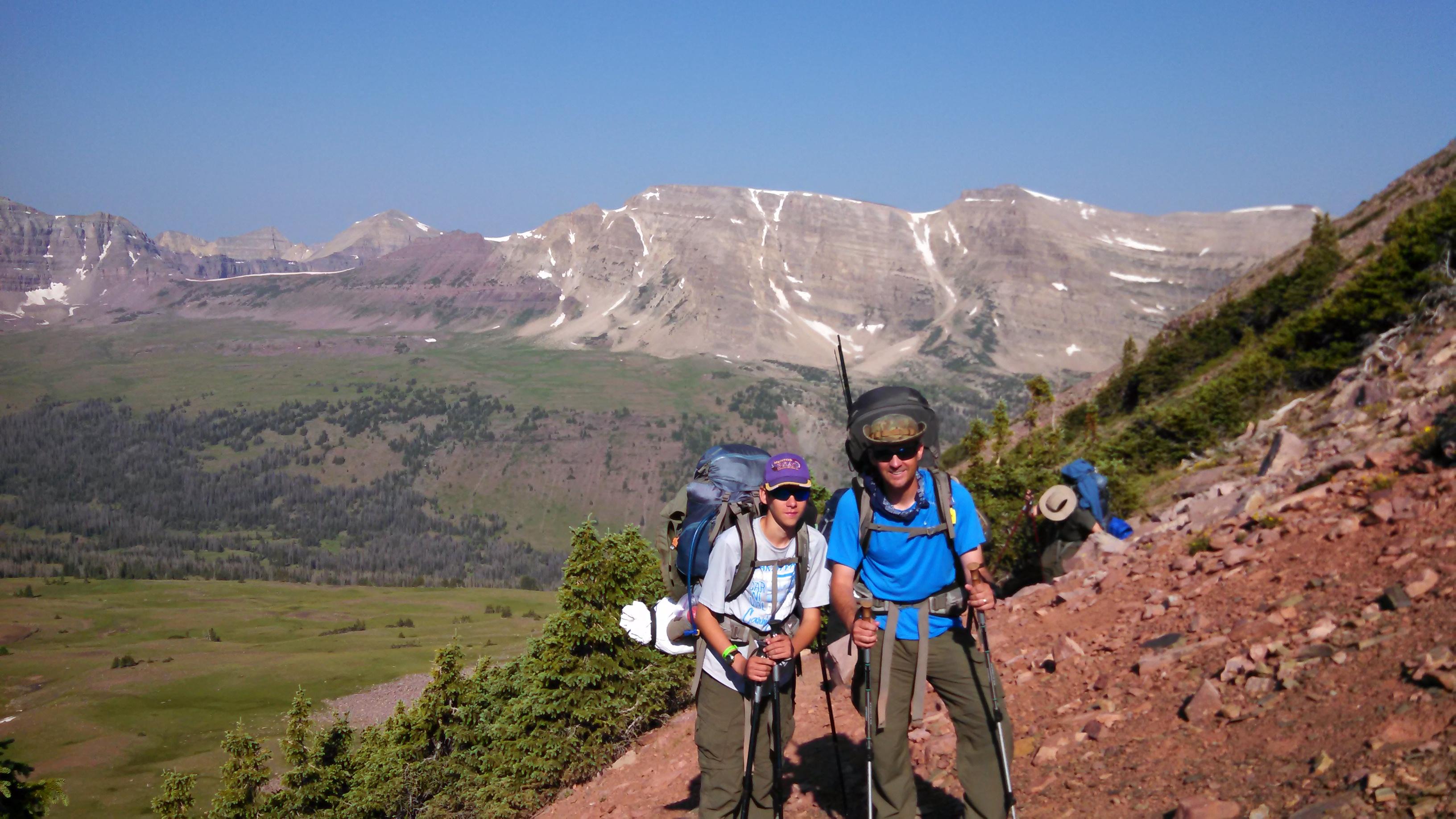
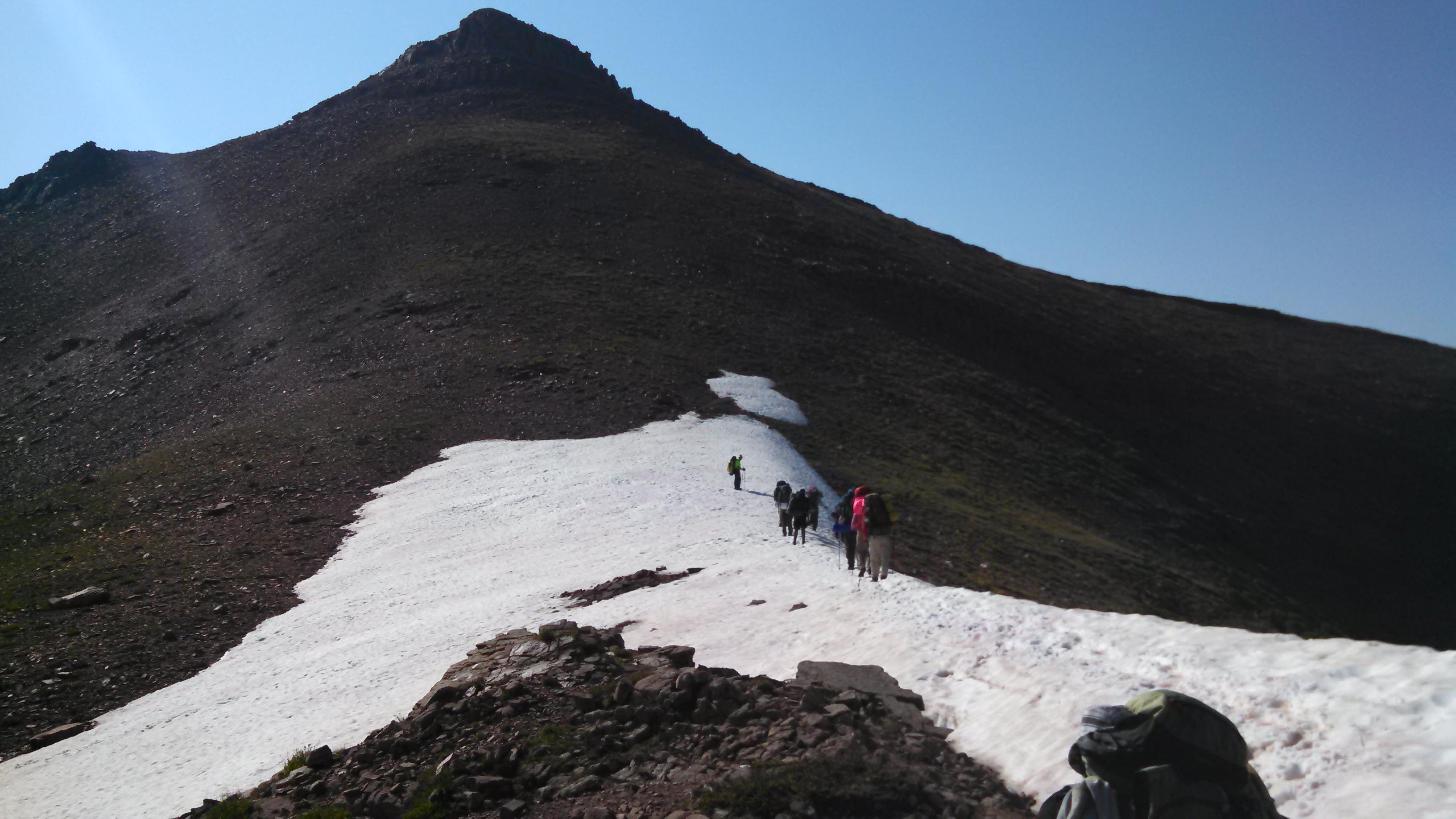
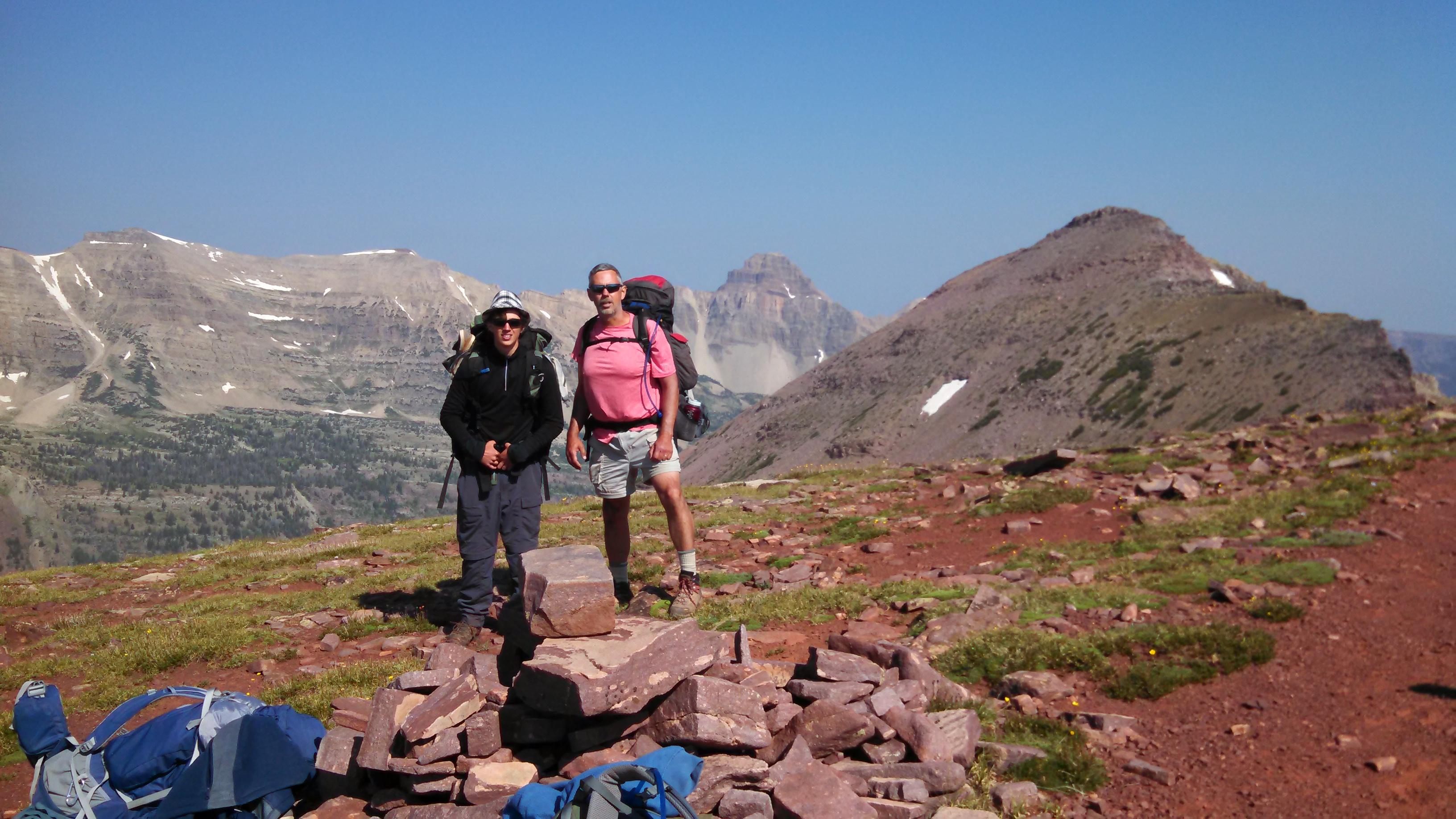
Views of every kind - distant horizons, nearby wildlife, isolated lake basins are better on ridgeline hikes. The king of the hill is the Highline Trail, which runs 78 east-west miles through the 456,705 acres High Uintas Wilderness of northeast Utah. The often-bouldery track crosses nine major passes and seldom dips below 10,500 feet. What hikers see is the very best of alpine and subalpine Utah.
Youd think all of this unobstructed beauty would attract a crowd, but fewer than 50 people a year thru-hike the ridge-hugging track. The Uintas long, brick-red ridgelines of billion-year-old quartzite, gradually being swallowed by their own talus, have a powerful majesty that 19th-century explorer Ferdinand Hayden singled out among all the mountain ranges hed seen. Compared to others, he wrote, the Uintas stands alone for its contrast so pleasing to the eye.
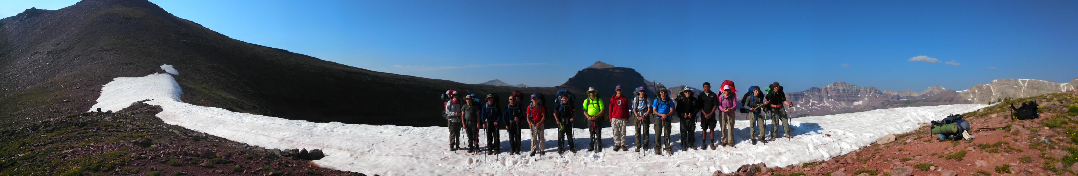
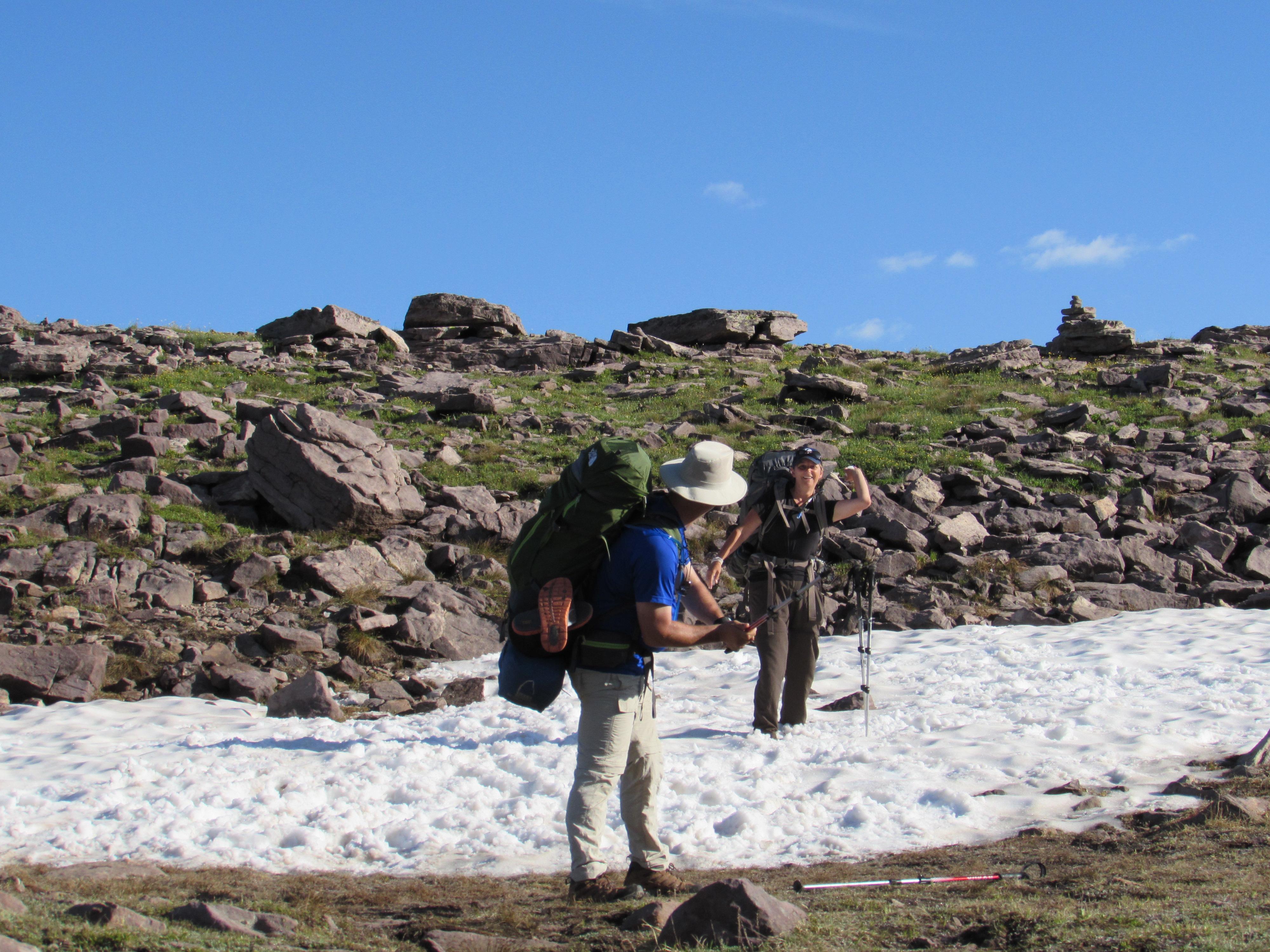
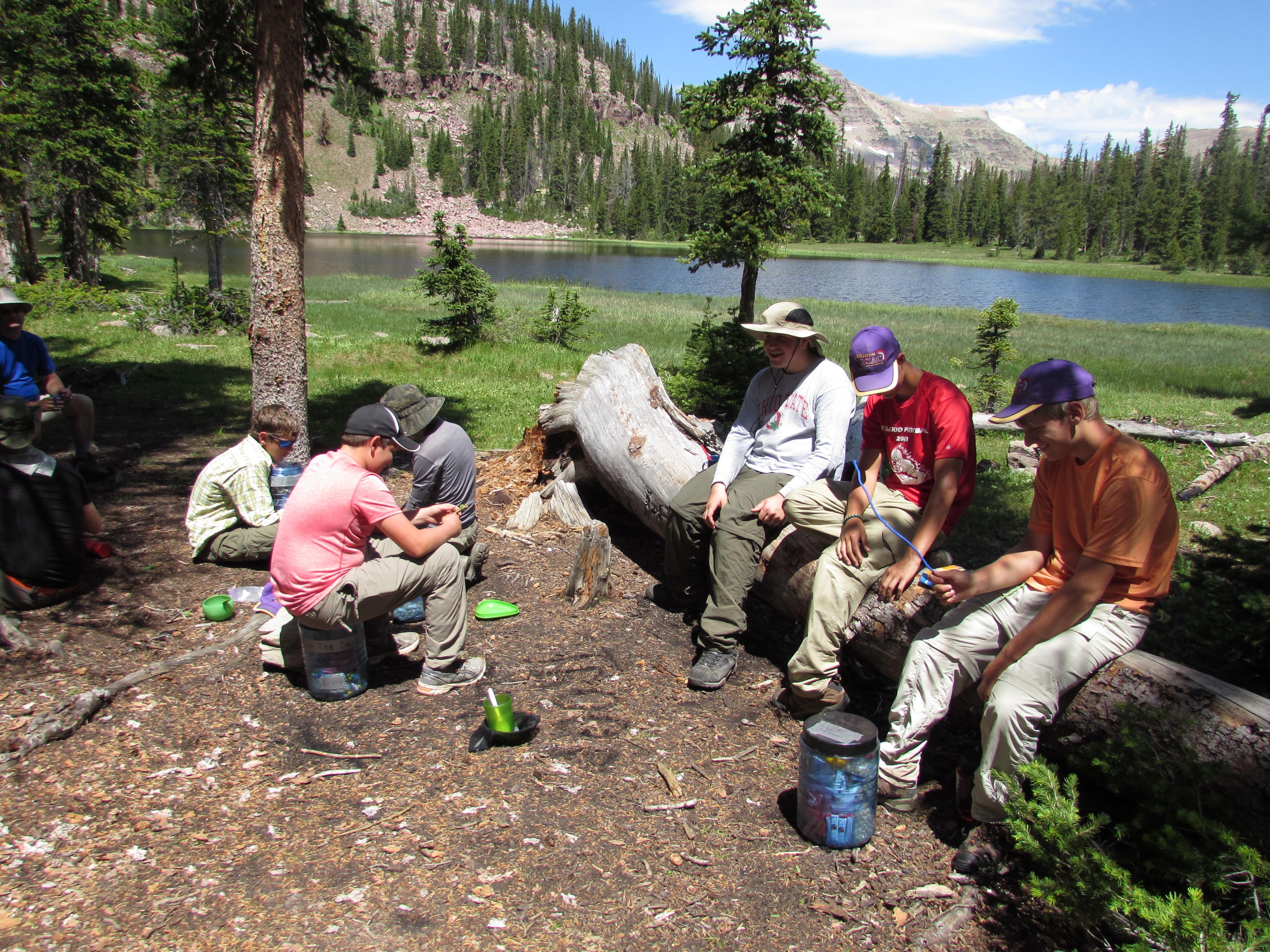
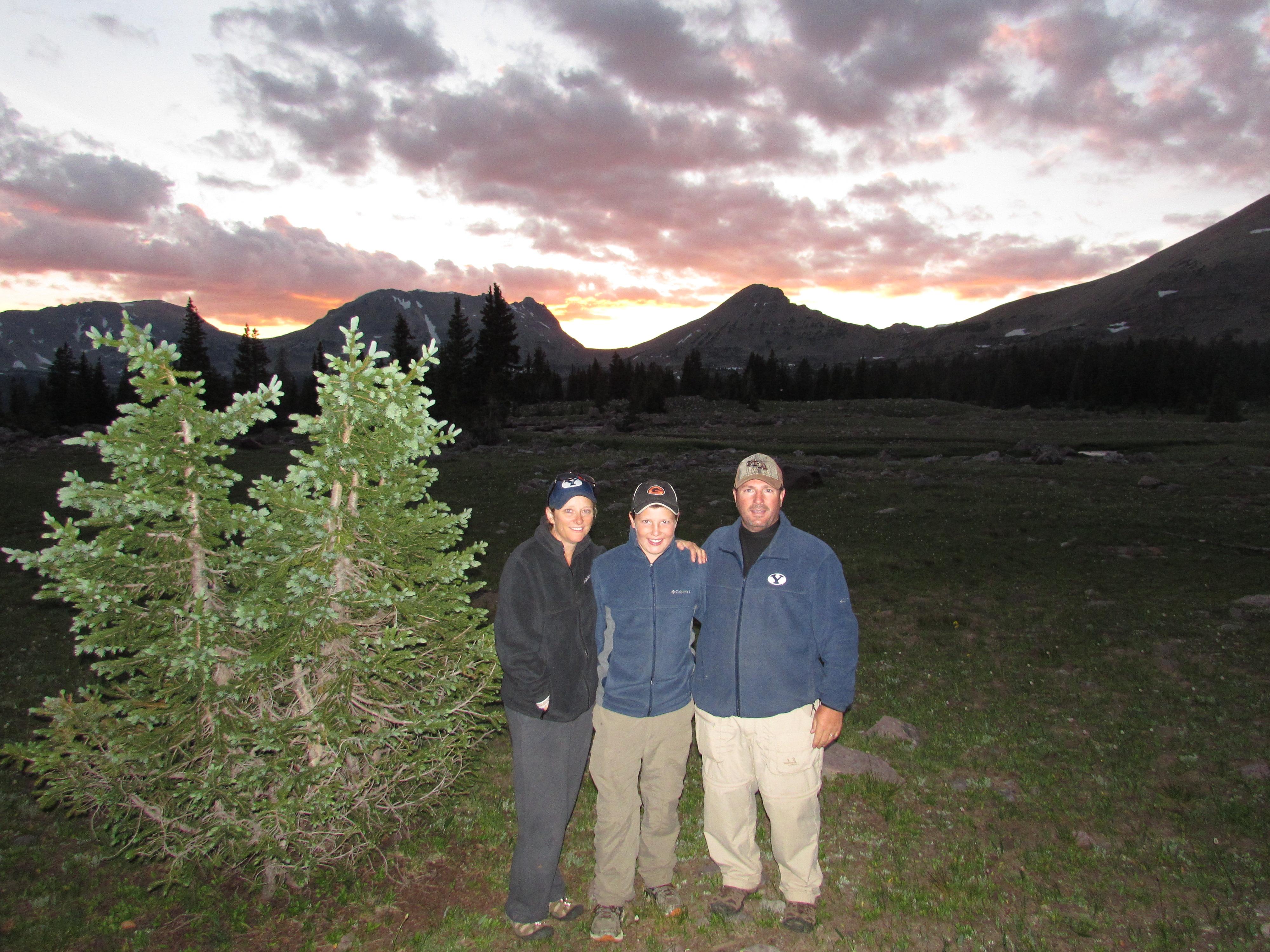
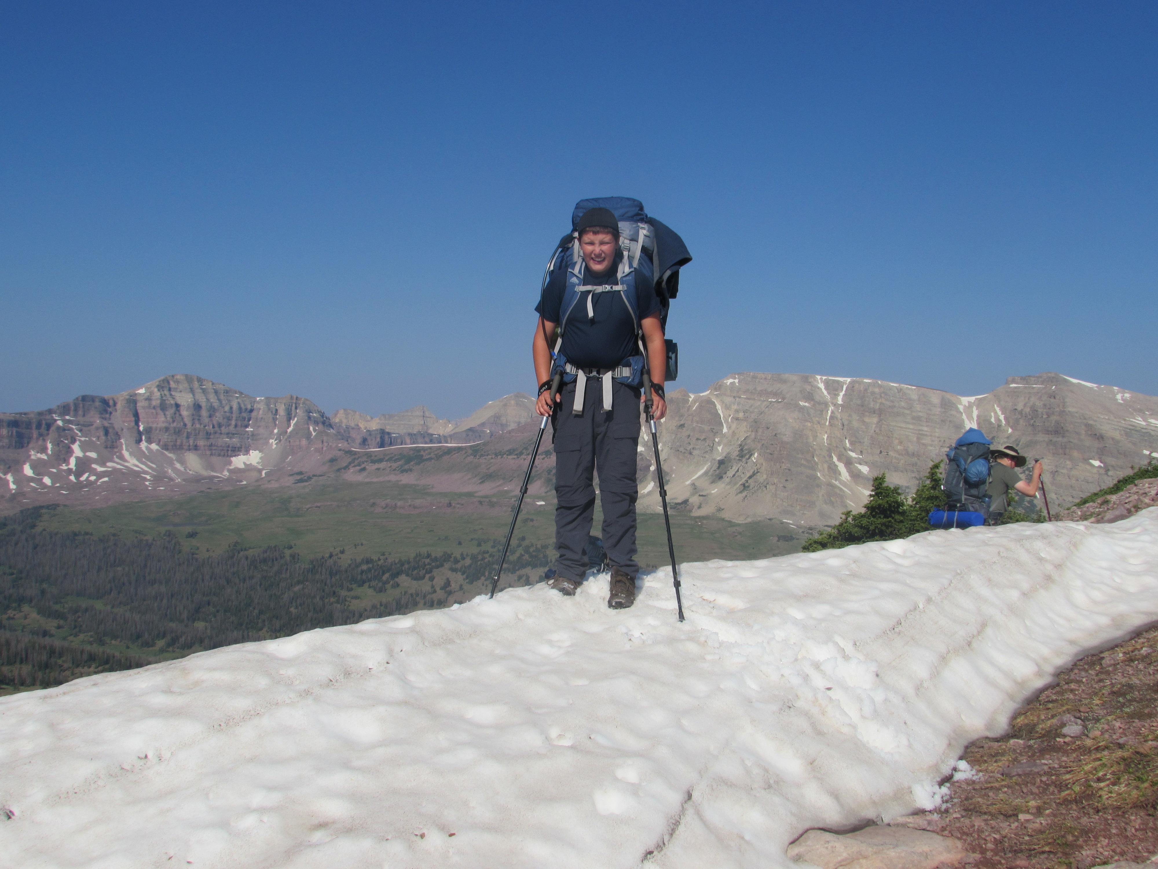
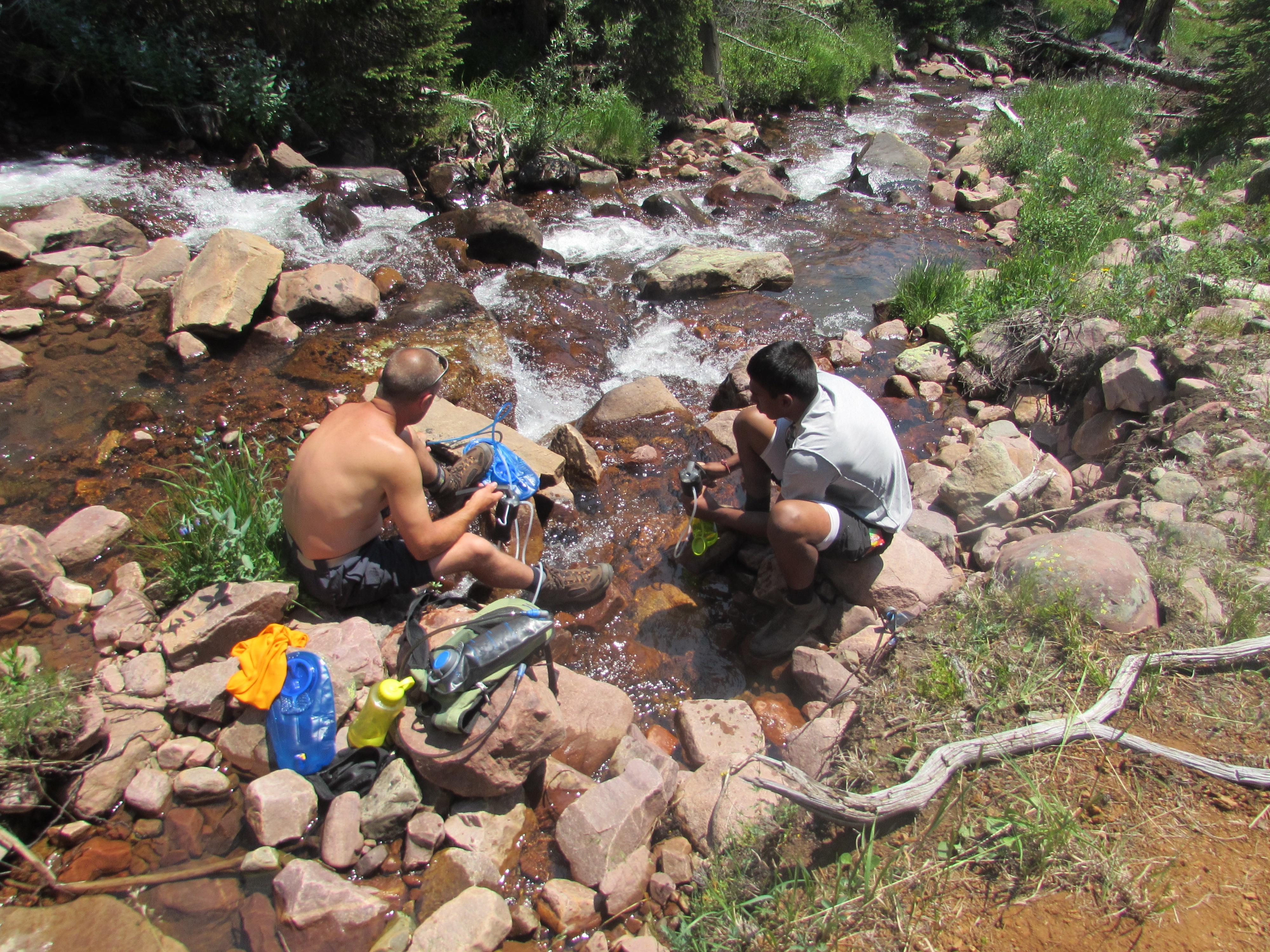
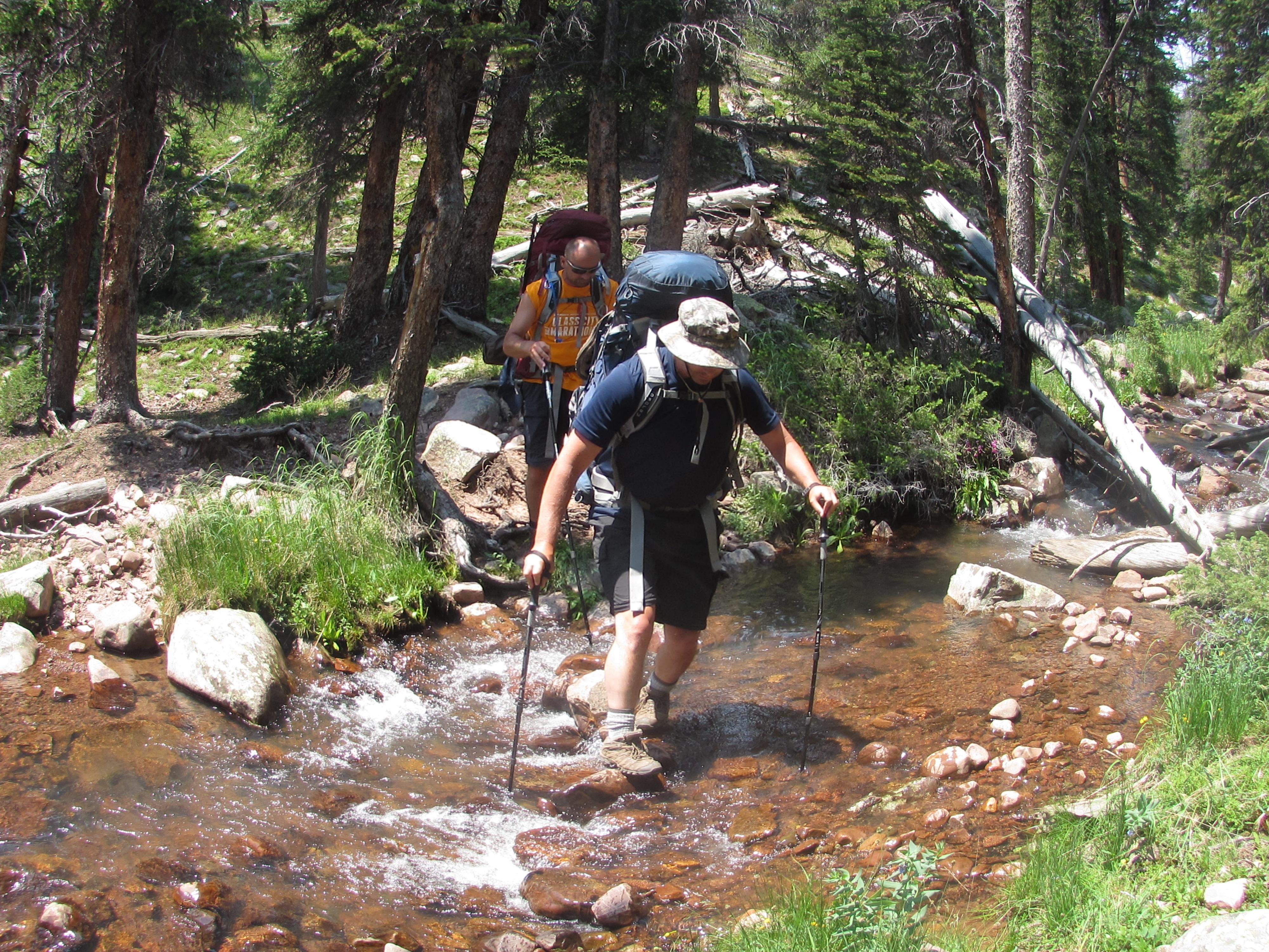
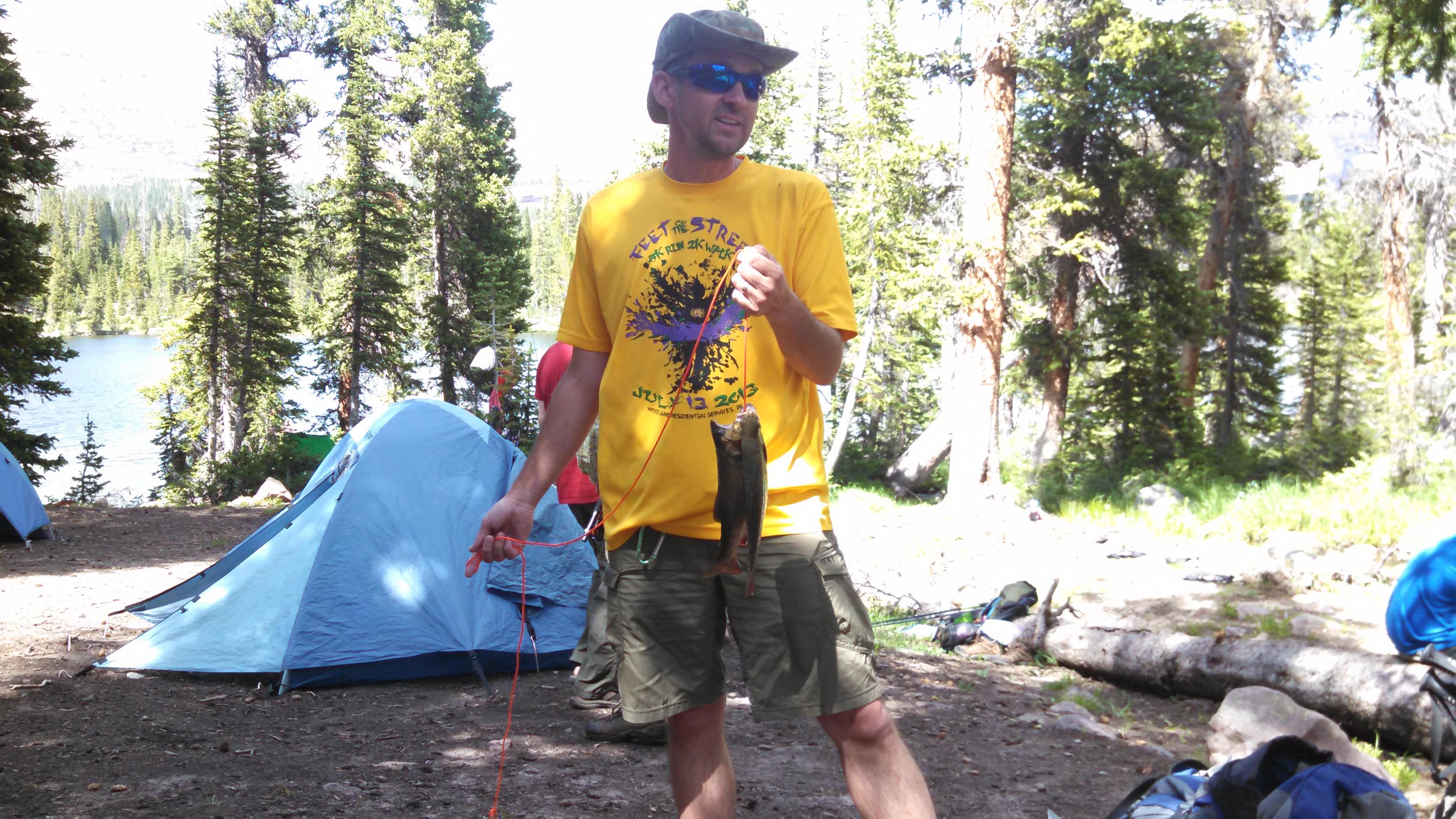
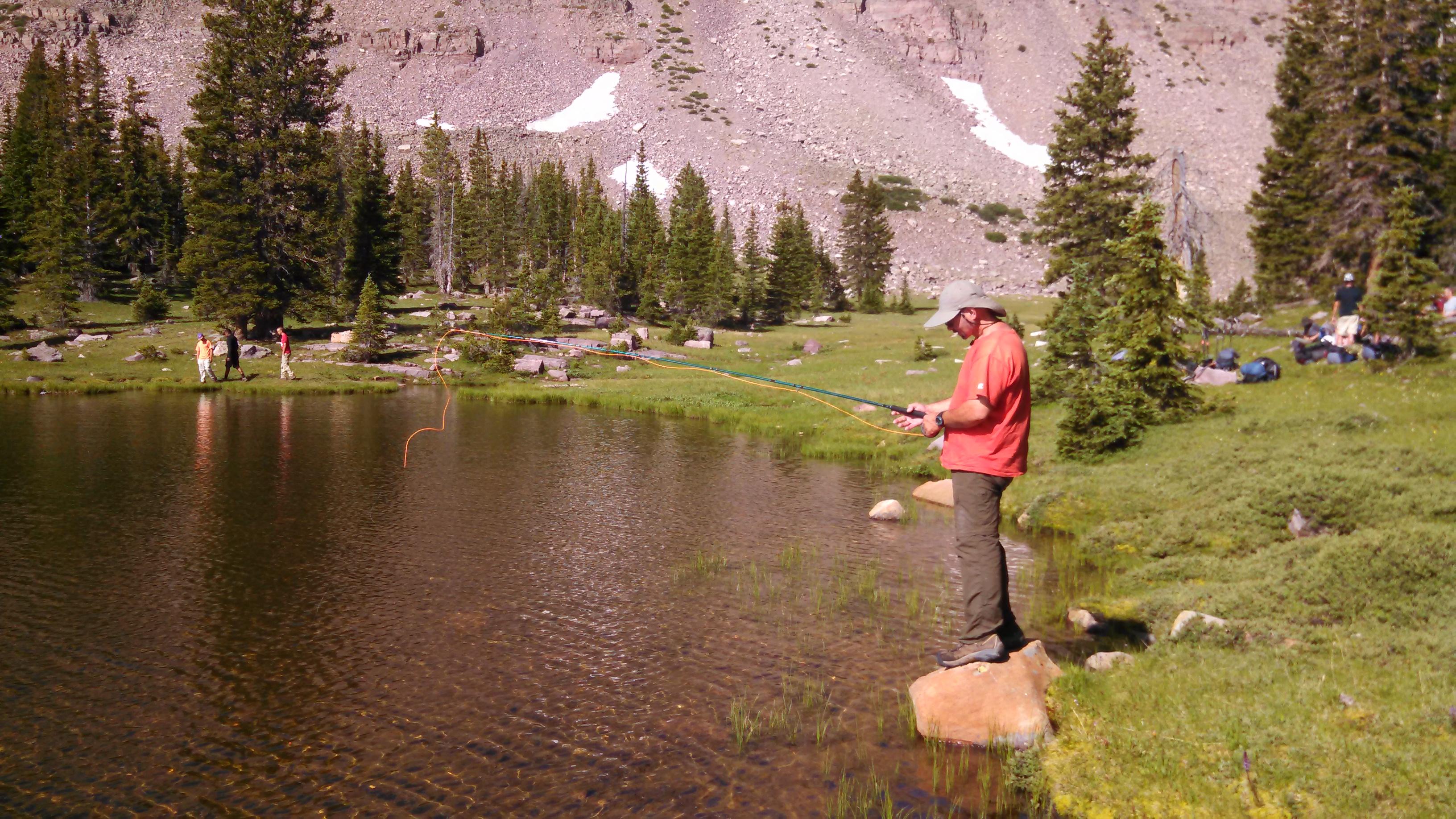
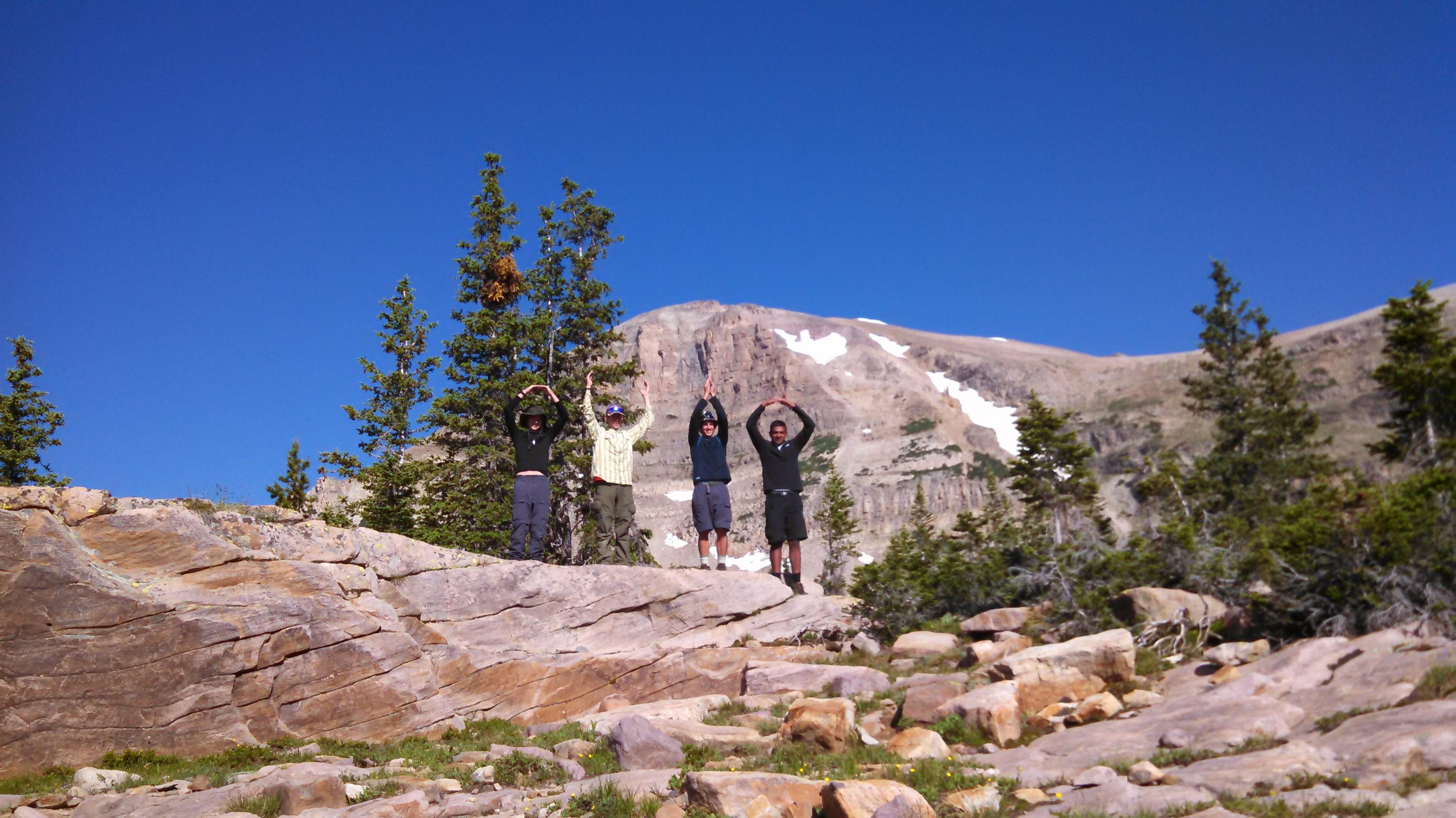
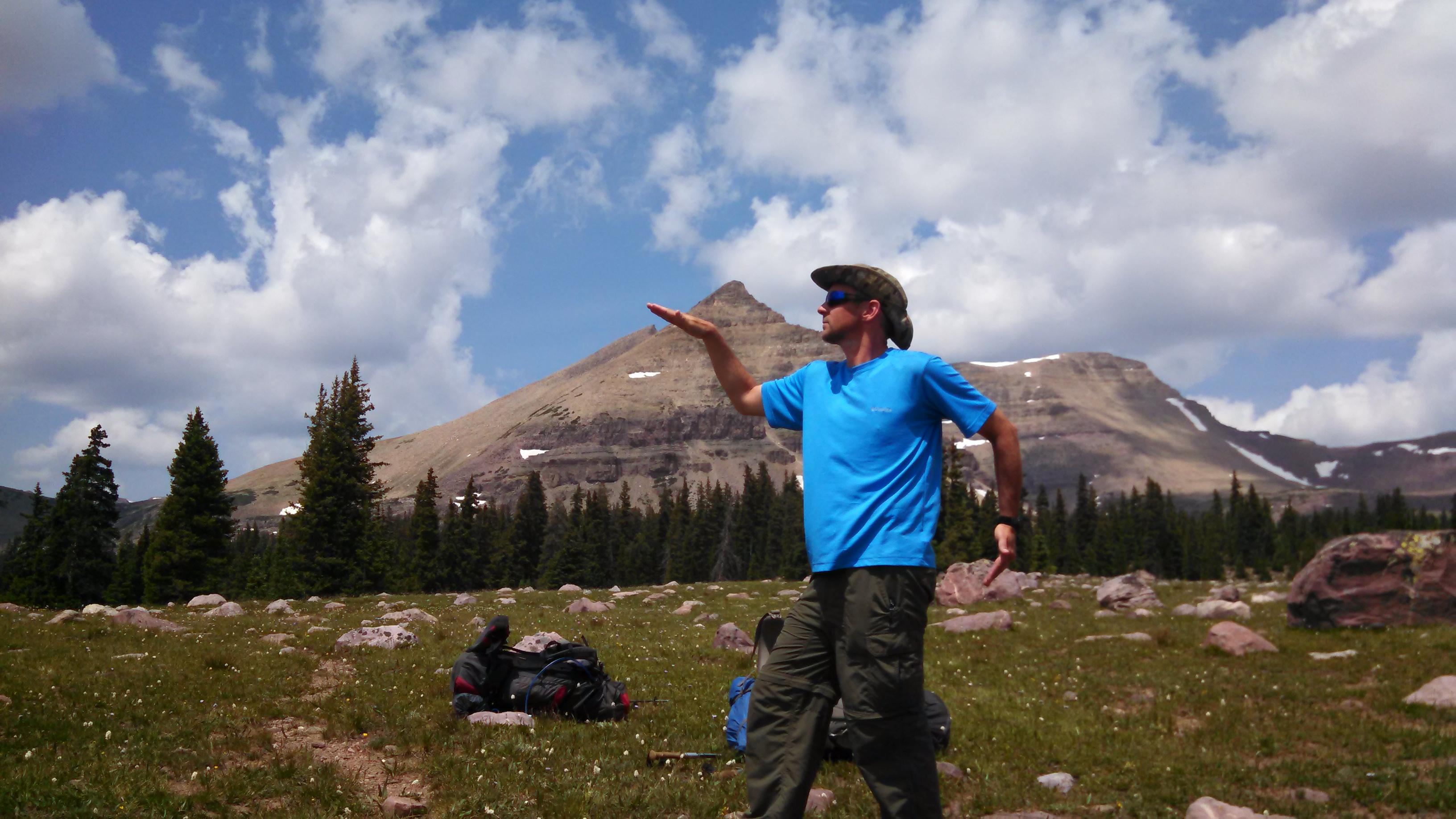
Troop 344 explored the the Uintas Mountains in Utah in July of 2014 by hiking a portion of the Highline Trail. We began at the western terminus at Hayden Pass. We were supposed to exit before Anderson Pass by way of Swift Creek Trailhead. However, the trail is so remote and faint that a junction was missed and we exited a day early at Moon Lake.
Views of every kind - distant horizons, nearby wildlife, isolated lake basins are better on ridgeline hikes. The king of the hill is the Highline Trail, which runs 78 east-west miles through the 456,705 acres High Uintas Wilderness of northeast Utah. The often-bouldery track crosses nine major passes and seldom dips below 10,500 feet. What hikers see is the very best of alpine and subalpine Utah.
Youd think all of this unobstructed beauty would attract a crowd, but fewer than 50 people a year thru-hike the ridge-hugging track. The Uintas long, brick-red ridgelines of billion-year-old quartzite, gradually being swallowed by their own talus, have a powerful majesty that 19th-century explorer Ferdinand Hayden singled out among all the mountain ranges hed seen. Compared to others, he wrote, the Uintas stands alone for its contrast so pleasing to the eye.
Troop 344 explored the the Uintas Mountains in Utah in July of 2014 by hiking a portion of the Highline Trail. We began at the western terminus at Hayden Pass. We were supposed to exit before Anderson Pass by way of Swift Creek Trailhead. However, the trail is so remote and faint that a junction was missed and we exited a day early at Moon Lake.
You are visitor number
Since September 1, 2013


 |
 |
 |
 |
 |
 |
 |
 |
 |
 |
 |
 |
 |
 |
 |
 |
 |
 |
 |
 |