


© 2011 BSA Troop 344, Pemberville, Ohio. All rights reserved. Please send comments or questions to the webmaster.
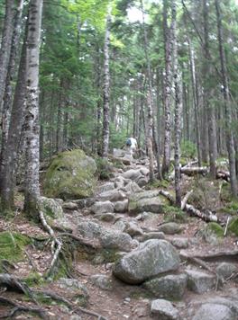
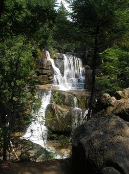
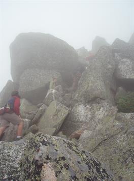
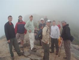
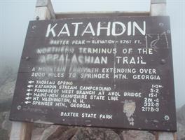
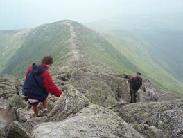
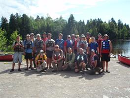
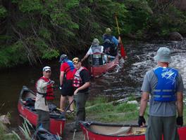
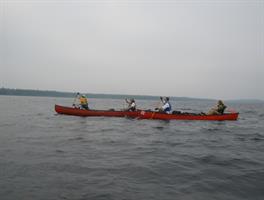
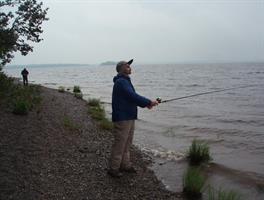
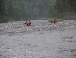
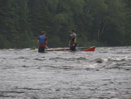
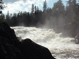
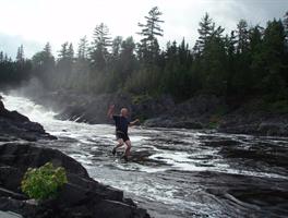
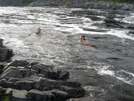
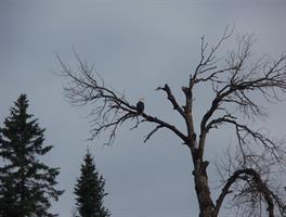
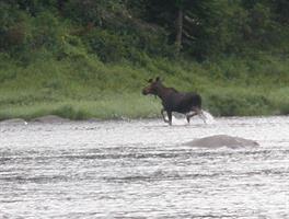
Baxter State Park in northern Maine is home to Mt. Katahdin, the highest point in Maine as well as the northern terminus for the Appalachian Trail. The 10.5 mile round trip hike up the Hunt Trail (part of the Appalachian Trail) to the peak of Mt. Katahdin was extremely difficult due to the steepness of the trail, the size of the boulders on the trail and over 3500 feet of elevation gain. Unfortunately, clouds covered the mountain and we hiked the final 2.5 miles to the top in a dense fog. The second part of our trip involved canoeing for 92 miles along the Allagash Waterway. This remote and protected corridor in Maine is made up of a series of lakes and rivers that involve 4 separate portages. Wildlife was abundant with animals such as loons, eagles, and moose frequently being seen. Several individuals enjoyed some fishing. About half of the canoeing was on lakes while the other half on fast moving streams. One of the highlights was seeing the abandoned steam engines from the logging days on Eagle Lake. Another was the 5 mile stretch of the challenging Chase Rapids that resulted in a few swamped canoes. Who can forget the beautiful 40 foot Allagash falls? We jumped into the deep pools near the base of the falls and floated down stream with the current. Altogether, we covered more than 100 miles afoot or afloat in this trip.

You are visitor number
Since March 17, 2013


